Chain controls widen to the Nevada state line on I-80 Tuesday — and the warned storm arrives tonight
Caltrans' Tuesday 5 a.m. report requires chains from Cisco to the Nevada State Line eastbound and from the state line to east of the SR 20 junction westbound, after Monday's shorter segments — while the Weather Service keeps Tuesday dry, expires Monday's advisory, and holds the Winter Storm Warning for 10 p.m. tonight through 4 a.m. Friday.
Summarized from Caltrans.
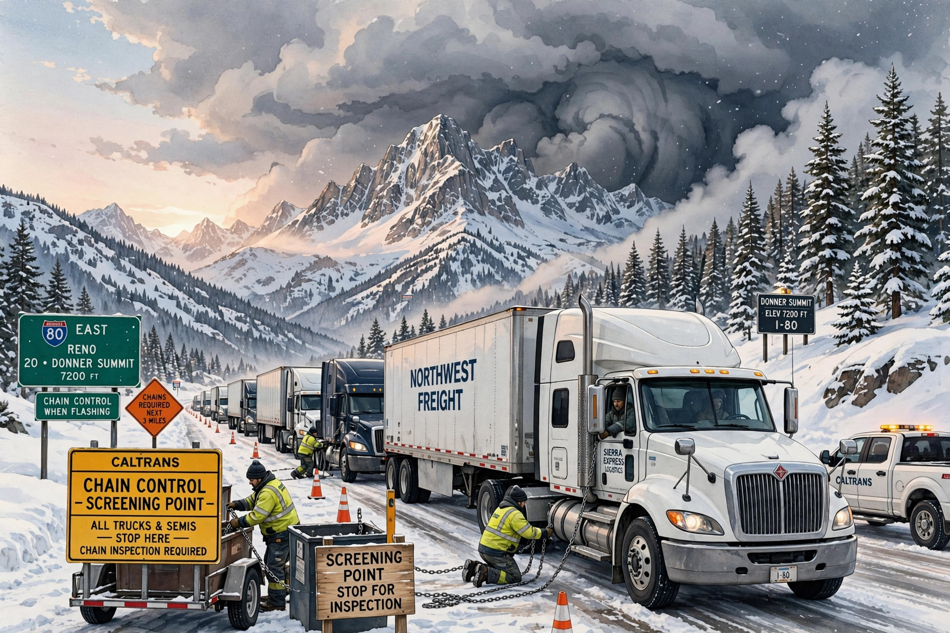
Image: Illustration: AI-generated by CDLWire
Interstate 80 over Donner Summit is under chain controls in both directions again this morning — over longer segments than Monday's — with trucks screened on both approaches and permit loads prohibited, according to Caltrans on Nov. 17, on the last day before the warned midweek Sierra storm moves in tonight.
Caltrans' highway report for Interstate 80, as of 5:00 a.m. Pacific on Tuesday, Nov. 17, requires chains on all vehicles except 4-wheel-drive vehicles with snow tires on all 4 wheels in both directions: eastbound from Cisco to the Nevada State Line, and westbound from the Nevada State Line to 2.5 miles east of the Junction of SR 20. On Monday morning the controlled segments were shorter — eastbound from Cisco to the Donner Lake Interchange, westbound from Truckee toward Kingvale — so Tuesday's report extends the chain requirement across the full Sierra crossing to the state line in each direction. For trucks, the screening is unchanged and still decides whether a combination reaches the grade: eastbound trucks are being screened at Applegate and drivers must have maximum chains in their possession in order to proceed, westbound trucks are being screened 5 miles west of Reno, at Mogul, under the same maximum-chains requirement, and in both directions permit loads are prohibited.
The snow holding those controls in place is the residue of Monday's system, not the start of the next one. The National Weather Service in Sacramento, in its Area Forecast Discussion issued at 2:30 a.m. Pacific on Tuesday, Nov. 17, says heavier snow ended yesterday evening and the Winter Weather Advisory was allowed to expire at 10 p.m. yesterday evening. Lingering snow showers are moving over the Donner Pass area early this morning and are expected to exit to the east over the next couple of hours, and the discussion warns that some chain controls may continue this morning. Away from the crest, clearing skies are producing patchy fog this morning, with patchy frost possible by daybreak in the northern Sacramento Valley and the foothills. Dry weather is expected today — but, the Weather Service says, this lull between systems will be brief, as precipitation begins to spread in by late this evening.
What spreads in is the storm this corridor has been tracking since the weekend, now inside its warning window. A Winter Storm Warning is in effect for elevations above 4,000 feet for the northern Sierra and southern Cascades from 10 p.m. tonight through 4 a.m. Friday, and for the Coast Range and Shasta County mountains from 4 p.m. Tuesday through 4 a.m. Thursday. A strong storm system moves out of the eastern Pacific and into California tonight into Wednesday, bringing widespread precipitation, strong south to southeasterly winds, heavy mountain snow and isolated thunderstorm chances. Forecast precipitation from Tuesday evening through early Friday is 1.5 to 2 inches in the Valley and Foothills, and a liquid equivalent of 3 to 4 inches above 4,000 feet, falling as snow. Snow levels will be around 3,500 to 4,500 feet Tuesday night and increase to 4,500 to 5,500 feet Wednesday, snowfall rates of 1 to 2 inches per hour are possible with locally higher rates in the stronger convective bands, and the heaviest snowfall is expected Wednesday morning and afternoon.
The totals the warning carries are the totals Monday's upgrade set, and Tuesday's discussion holds them: total snowfall of 1 to 3 feet above 5,000 feet, with locally higher amounts up to 4 feet at the highest peaks; up to a foot between 4,000 feet and 5,000 feet; and a dusting possible as low as 3,500 feet. Wind arrives with the snow. Gusts up to 50 mph are expected within the Sacramento Valley, the northern San Joaquin Valley, the Delta and the Foothills, with stronger gusts up to 55 mph in the mountains, and a Wind Advisory is in effect from 10 p.m. tonight through 4 p.m. Wednesday for the Sierra, Foothills and Delta — the Sierra's inclusion widening Monday's valley-focused advisory. The strongest winds are expected during the day on Wednesday, as the main wave of precipitation moves in, and the combination of heavy snow rates and 55 mph gusts is expected to bring significant reductions in visibility. Travel could be very difficult to impossible Tuesday night through early Friday morning.
Nor does the pattern end Friday. The discussion expects Friday to look drier, but says any break looks brief: confidence is increasing in a wet weekend with accumulating mountain snow, and projections show a continued progression of storm systems out of the Pacific with increased moisture flow even into next week.
The practical plan is set by two clocks, both now measured in hours. The road clock: a crossing today is a chained crossing over the full state-line-to-state-line segment, with maximum chains required in possession at Applegate or Mogul and no permit loads at all. The storm clock: precipitation spreads in late this evening and the warning opens at 10 p.m. tonight on a system expected to make mountain travel very difficult to impossible at times through early Friday, with its heaviest snow and strongest wind on Wednesday. Tuesday daytime remains the staging window — be on the side of the Sierra you need to be on before tonight, and check the Caltrans highway report again before rolling either way.
Sources
Related coverage
 November 16, 2026 · Road conditionsChain controls are back on Donner for Monday — trucks screened at Applegate and Mogul, permit loads prohibited, with the midweek watch opening Tuesday night
 November 15, 2026 · Road conditionsThe Sierra's midweek storm roughly doubles overnight: 90% to 100% odds of at least 24 inches above 5,000 feet
 November 14, 2026 · Road conditionsI-80 westbound closed to semis over Donner Summit — and a new Sierra advisory runs Sunday into Monday
Comments
Loading comments…