Weather
Severe weather threatening freight corridors — road closures, trailer bans, and driving guidance.
44 stories, newest first · page 2 of 3

Flash flooding closes Arizona highways and forces evacuations — I-17 is back open, four state routes are still shut, and Pagosa Springs braces for a record San Juan River crest
ADOT closed I-17 in both directions in northern Arizona on Sunday before reopening it in the afternoon; State Routes 89A, 260, 73 and 238 remain closed with no reopening time. Evacuations were ordered in Sedona, Camp Verde and Gila County, and in Colorado the San Juan River at Pagosa Springs is forecast to crest above its 1911 record on U.S. 160.

Winter storm warnings for Colorado's San Juan passes: up to 18 inches and 50 mph gusts on U.S. 160 and U.S. 550 through Monday
The National Weather Service in Grand Junction has the northwest and southwest San Juans under a warning until 2 p.m. Eastern Monday — 12 to 18 inches above 10,000 feet — and the Pueblo office warns the eastern San Juans, including Wolf Creek Pass, from Sunday evening, with the worst travel Sunday night into Monday morning.

Winter storm warning for the Parks Highway: 7 to 15 inches through Friday, visibility to a quarter mile through Broad Pass
The National Weather Service in Anchorage has a winter storm warning in effect from 1 p.m. Thursday to 2 p.m. Friday Alaska time for the Northern Susitna Valley, including the Parks Highway corridor through Broad Pass — the main road link between Anchorage and Fairbanks. Light snow adds 3 to 6 inches before the warning even begins; the heaviest snow falls Thursday night into Friday morning.

First snow of the season crosses seven states Monday — slush today, frozen ruts and 60 mph Wyoming gusts Tuesday
Snow is forecast across parts of seven Rockies and Plains states through Monday night, with several inches possible in the Black Hills and mostly slush at lower elevations; whatever slush survives Monday night can freeze into hard ruts Tuesday, when a National Weather Service high wind watch puts gusts to 60 mph across parts of Wyoming, aimed squarely at high-profile vehicles.
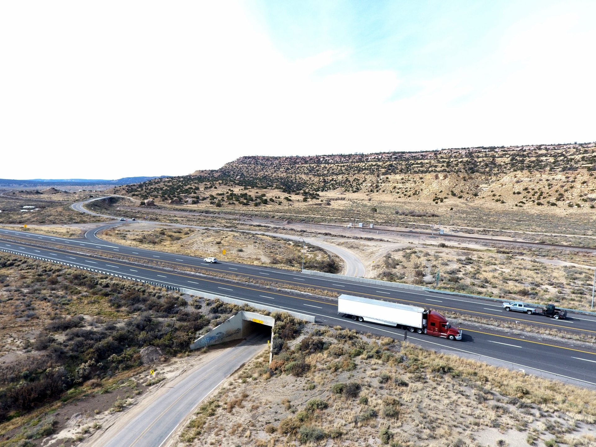
I-40 is open again at Cubero — but the Rio San Jose flood warning now runs through Monday afternoon
Saturday night's both-directions flood closure near mile marker 102 left semis stranded with no detour available; the interstate has since reopened, but the National Weather Service extended the Rio San Jose flood warning to 3:30 p.m. Monday with numerous local roads still closed, and BNSF's parallel Transcon main line reopens in stages overnight.
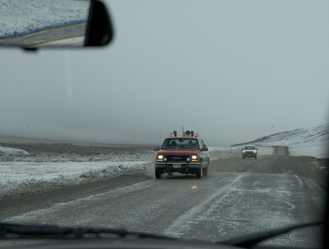
Winter storm warning covers the Dalton Highway through Monday night: 8 to 16 inches in two waves
NWS Fairbanks warns of 8 to 16 inches on the Dalton Highway from Mile Post 165 to 232, including Coldfoot and Wiseman, through 10 p.m. Monday — with up to 20 inches and 55 mph gusts at Red Dog Mine in the western Brooks Range.

I-285 is fully closed in southwest Atlanta all weekend — GDOT asks truckers to take the detour this time
All lanes of I-285 are closed both directions between Cascade Road (exit 7) and SR 166/Langford Parkway (exit 5) from 7 p.m. Friday to 5 a.m. Monday for the $206 million Westside Rebuild — after GDOT blamed trucks that ignored detours for last weekend's Smyrna gridlock.
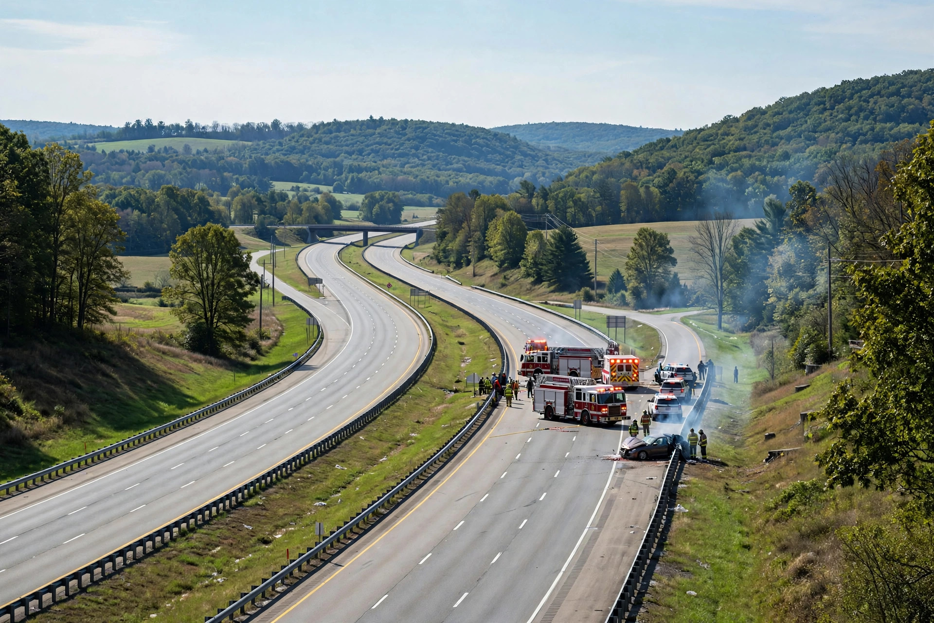
One killed in fiery seven-vehicle I-81 chain-reaction crash near Carlisle; Texas man charged
A seven-vehicle chain-reaction crash on Interstate 81 northbound in South Middleton Township killed one person, sent an unknown number of people to a hospital and closed the interstate between Exits 47 and 49 for nearly nine hours on Friday; Pennsylvania State Police have charged a Round Rock, Texas, man with homicide by vehicle. It was the second closure of I-81 in Cumberland County before 8 a.m. — a flammable-load tractor-trailer overturned near Exit 57 at 4:51 a.m.

Coffee truck torn apart in I-81 construction-zone crash; driver trapped 20 minutes
A semi truck collided with a coffee food truck in a construction backup on Interstate 81 in Silver Spring Township, Pennsylvania, on Thursday morning; rescue crews needed 20 minutes to free the trapped driver, and the extent of his injuries is not yet clear.
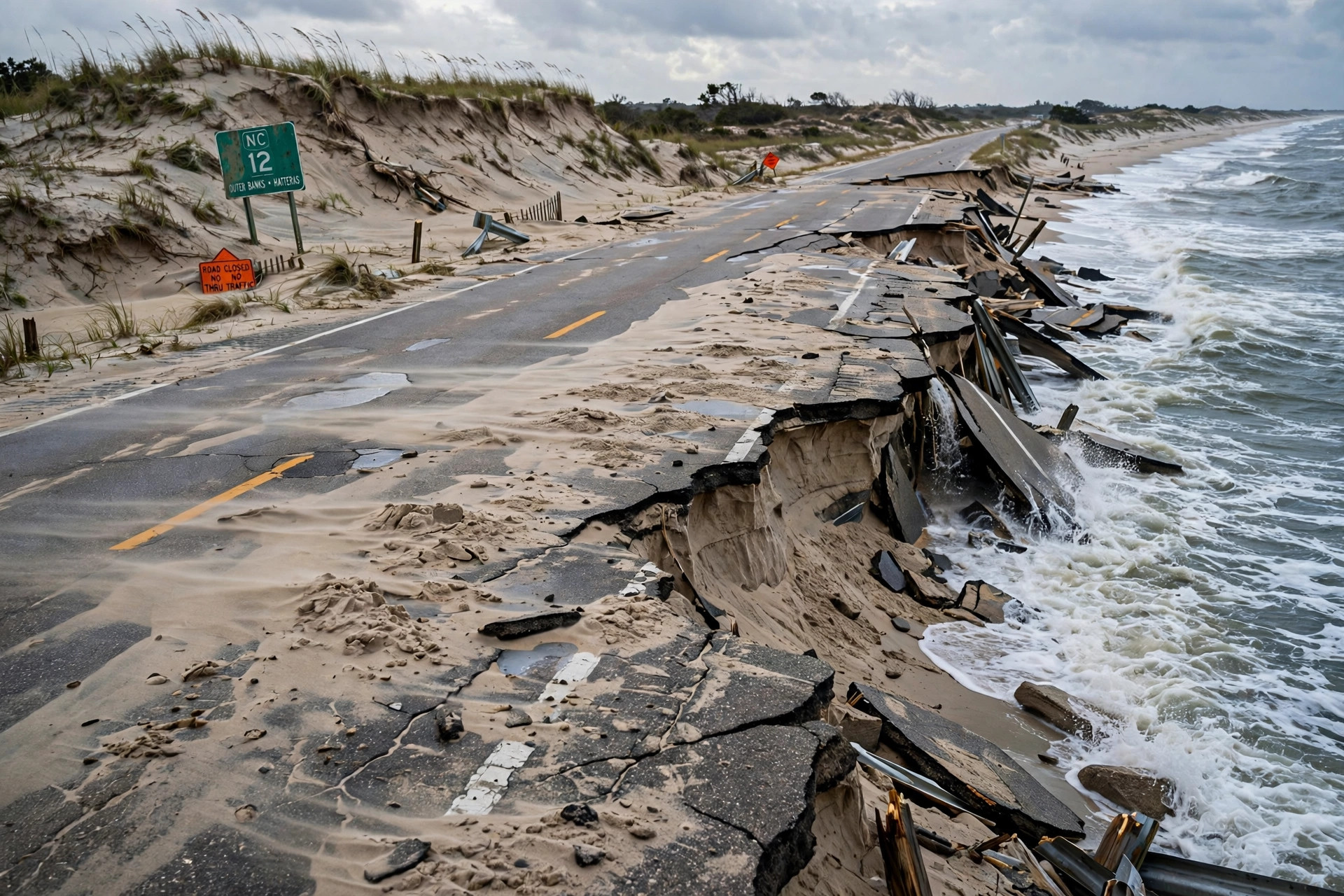
NC-12 damage put at 800 feet of pavement and 1,800 feet of dunes; emergency ferry in planning and no reopening timeline
The North Carolina Department of Transportation now reports about 800 feet of pavement damage near the Pea Island Visitor Center — waves undermined the roadway — and about 1,800 feet of protective dunes lost, with the department in the planning stages of activating the Stumpy Point–Rodanthe emergency ferry and no timeline for reopening until overwash subsides and a full assessment is possible.
Coffee truck torn apart in I-81 construction-zone crash; driver freed after 20-minute rescue
A semi truck collided with a coffee food truck in a construction backup on Interstate 81 in Silver Spring Township, Pennsylvania, on Thursday morning, October 22; crews needed 20 minutes to free the trapped driver, and the extent of his injuries is not yet clear.
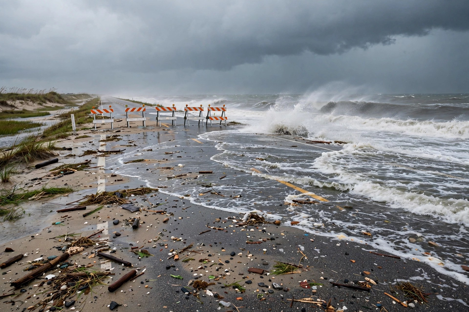
Nor'easter closes NC-12 to Hatteras: the island's only road is still shut Wednesday, flood warnings extended
Ocean overwash and dune erosion near the Pea Island Visitor Center forced the North Carolina Department of Transportation to close NC-12 from the Marc Basnight Bridge to Rodanthe on Monday evening; the National Weather Service's Wednesday morning update still listed the segment closed, with the coastal flood warnings for Hatteras and Ocracoke extended through 8 p.m. Wednesday.

Semi cab left hanging off I-5 in San Diego after crash with a sedan; fuel spill catches fire, severe delays reported
The crash happened around 10 a.m. Tuesday near Washington Street in Mission Hills; four people in the sedan were taken to the hospital, two men in the semi refused medical care, and the extent of the injuries was not known.

Cattle truck plunges off Kansas City I-70 overpass onto a car: 45 to 60 cattle killed, survivors roam downtown
The semitractor-trailer fell from the westbound I-70 curve over southbound I-35 shortly before 3 a.m. Sunday; both drivers were treated for minor injuries, and by Sunday afternoon police believed all of the surviving cattle had been accounted for after a roundup that used drones and workers on horseback.

Nor'easter takes shape off the Carolinas: gusts over 60 mph, a coastal flood warning and NC-12 overwash risk into Tuesday
The National Weather Service has a coastal flood warning up for Hatteras Island through Tuesday afternoon — 2 to 4 feet of inundation, with vulnerable sections of NC-12 at risk around high tide — while forecasters see gusts over 60 mph on the Outer Banks by Monday and 40 to 50 mph winds reaching toward the I-95 corridor.