Weather
Severe weather threatening freight corridors — road closures, trailer bans, and driving guidance.
44 stories, newest first · page 1 of 3
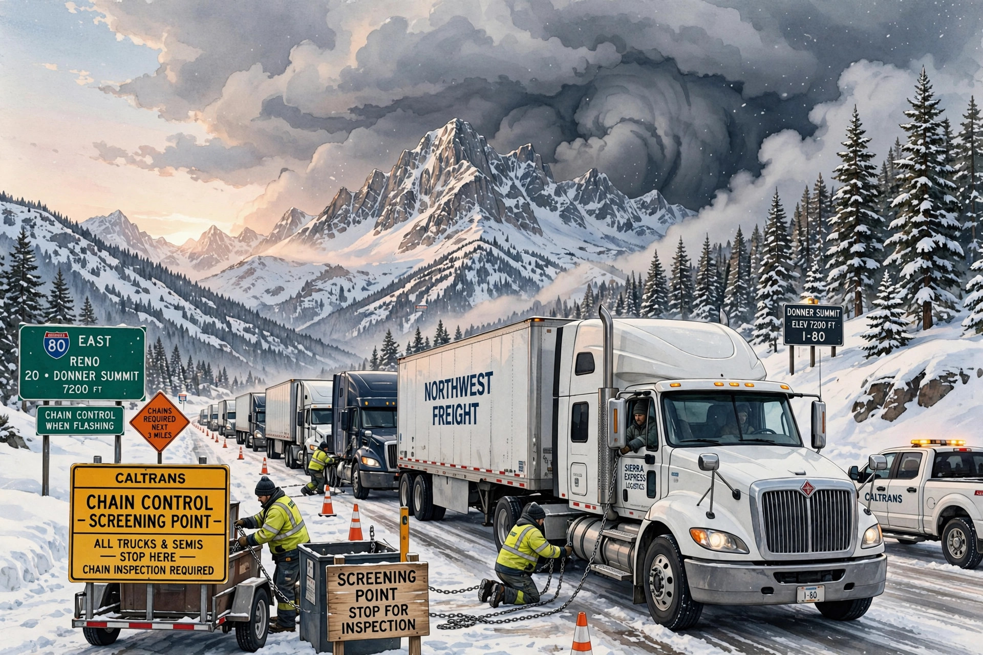
Chain controls widen to the Nevada state line on I-80 Tuesday — and the warned storm arrives tonight
Caltrans' Tuesday 5 a.m. report requires chains from Cisco to the Nevada State Line eastbound and from the state line to east of the SR 20 junction westbound, after Monday's shorter segments — while the Weather Service keeps Tuesday dry, expires Monday's advisory, and holds the Winter Storm Warning for 10 p.m. tonight through 4 a.m. Friday.
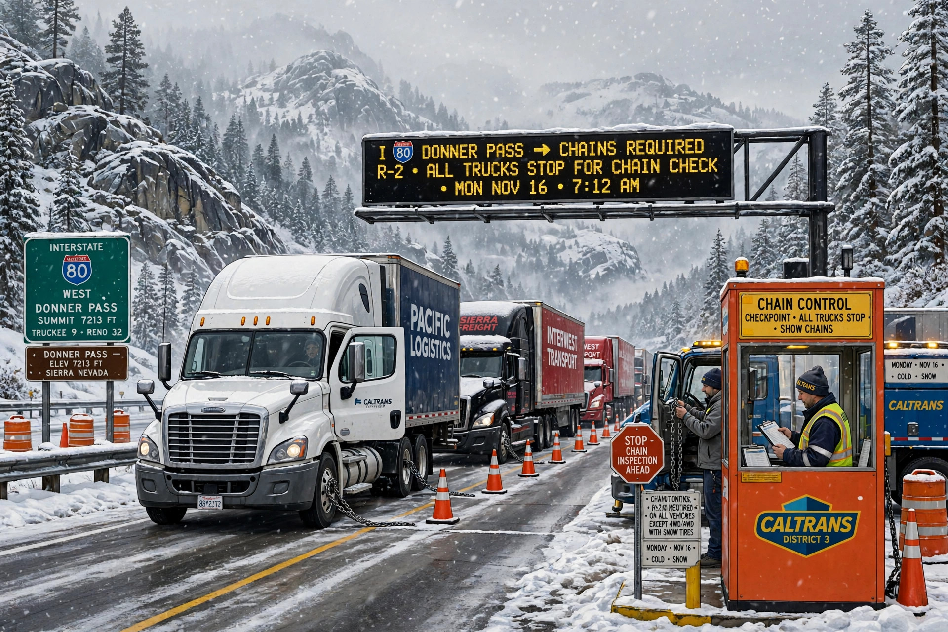
Chain controls are back on Donner for Monday — trucks screened at Applegate and Mogul, permit loads prohibited, with the midweek watch opening Tuesday night
Caltrans' Monday 5 a.m. report requires chains in both directions over the summit — eastbound from Cisco to the Donner Lake Interchange, westbound from Truckee to west of Kingvale — after an unrestricted Sunday morning, while the Weather Service keeps the heaviest snow for this morning and the bigger system on watch from 10 p.m. Tuesday to 4 a.m. Friday.
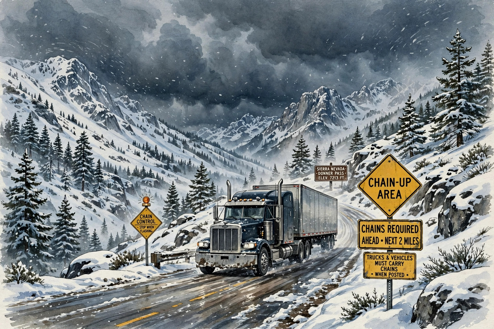
The Sierra's midweek storm roughly doubles overnight: 90% to 100% odds of at least 24 inches above 5,000 feet
I-80 over Donner is unrestricted this morning and the weekend advisory runs Sunday afternoon through Monday — but the Weather Service now puts around 90% to 100% probabilities on at least 24 inches above 5,000 feet from late Tuesday through Thursday, with snow levels down to 4,000 feet and significant impacts expected early Wednesday through early Friday.
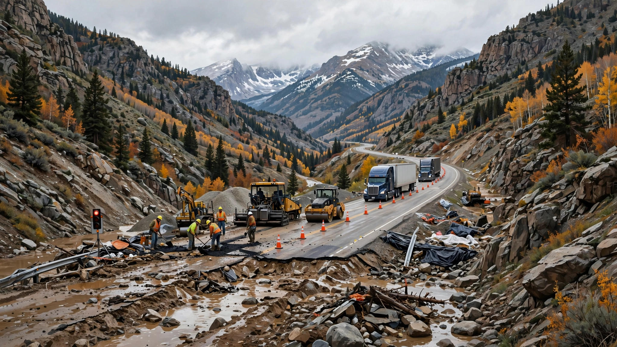
Wolf Creek Pass reopens for the weekend, then closes again Monday for paving
CDOT opens flood-damaged U.S. 160 over the pass from 7 a.m. Saturday to 6 a.m. Monday — single lanes, 20-minute delays and snow in the forecast — ahead of a planned permanent opening before Thanksgiving.
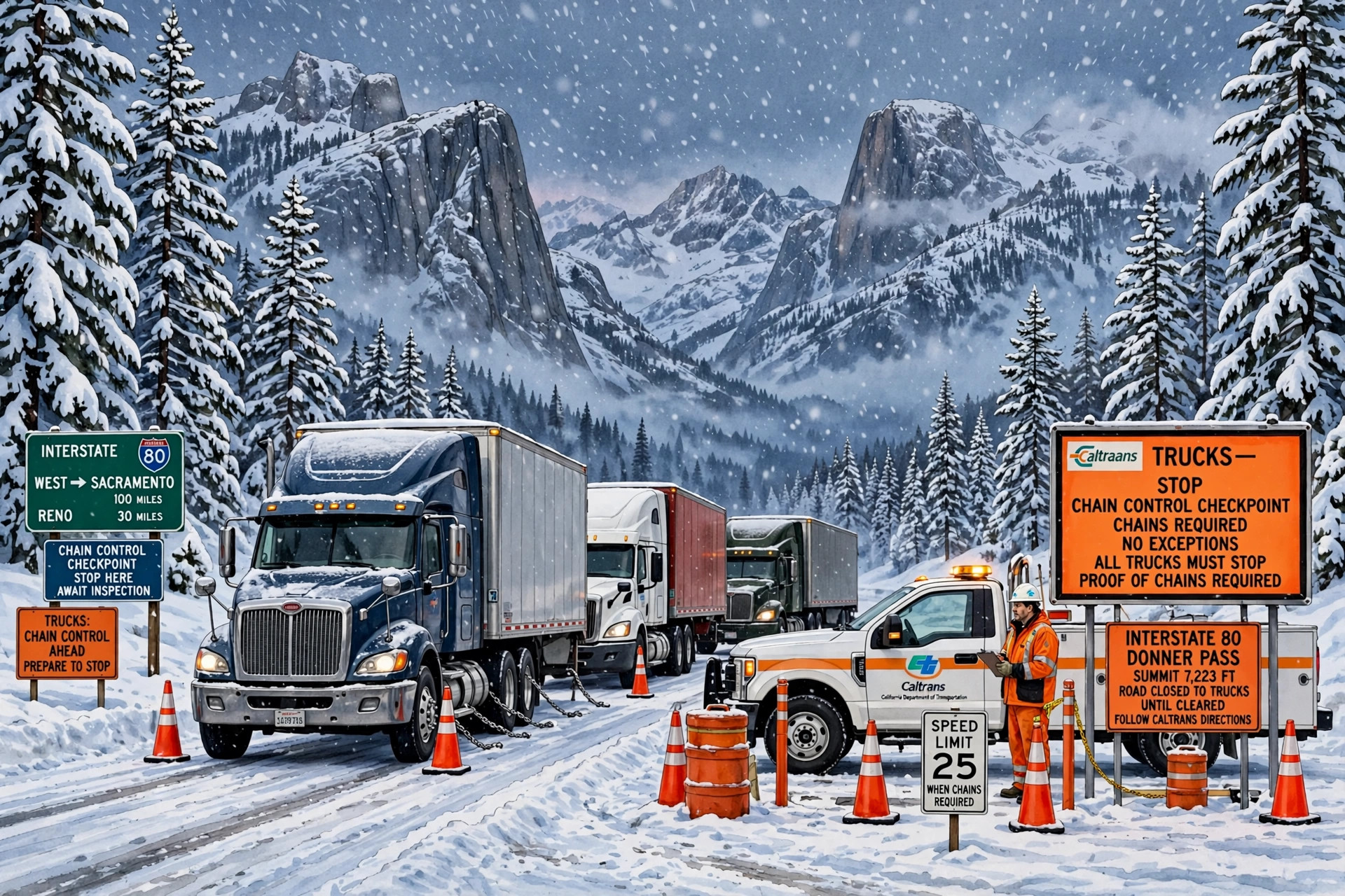
I-80 westbound closed to semis over Donner Summit — and a new Sierra advisory runs Sunday into Monday
Caltrans' Saturday-afternoon report closes westbound Interstate 80 to all tractor-semitrailer combinations from the Nevada line to west of Kingvale, a day after spinouts shut the pass in both directions — and the Weather Service's new advisory covers the same passes from 4 p.m. Sunday to 10 p.m. Monday, with a stronger storm behind it midweek.
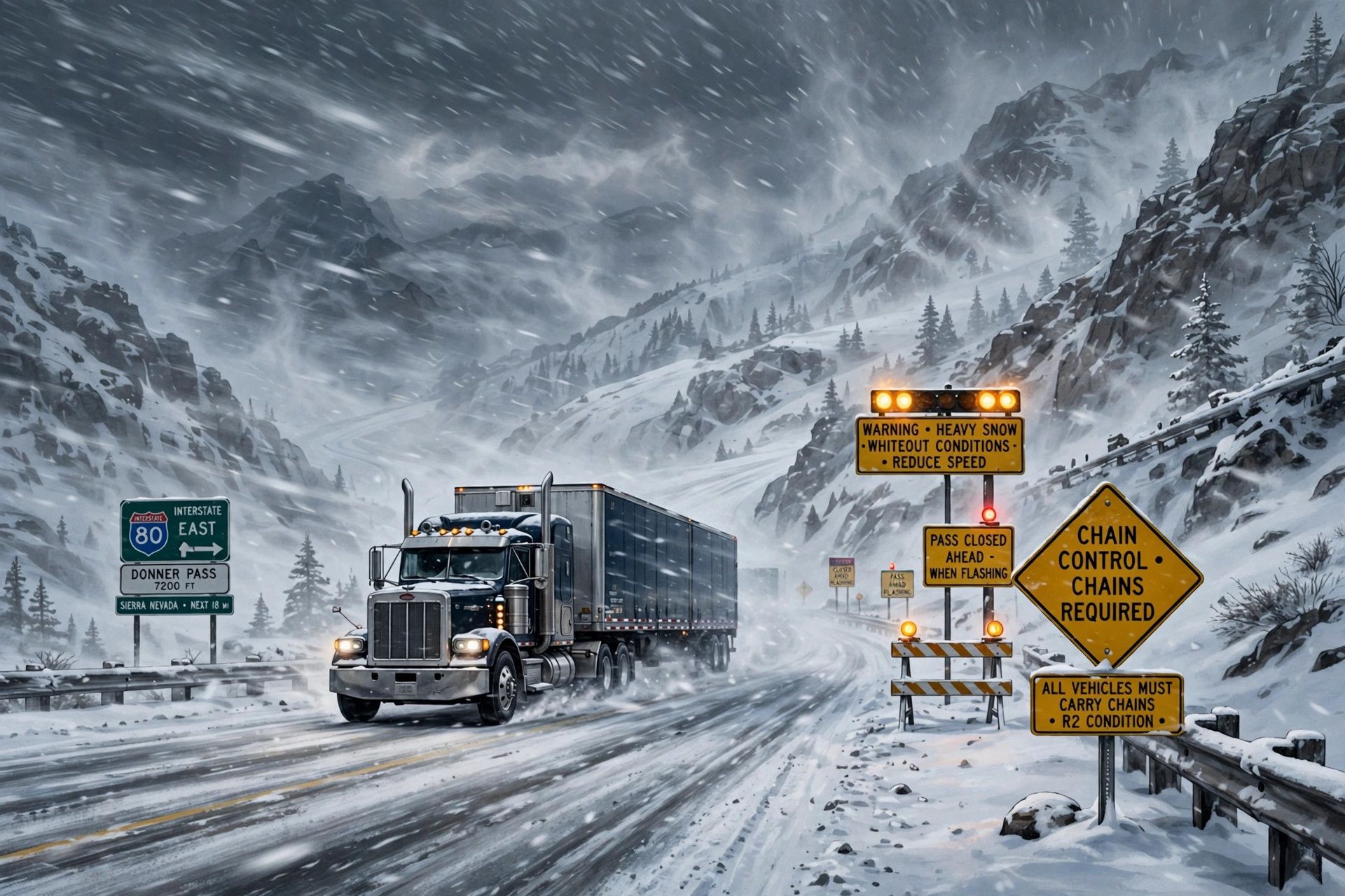
Sierra warnings are up — up to 24 inches and 90 mph ridge gusts Friday into Saturday — as the season's first widespread Northeast snow and a Rockies storm join the map
Winter storm warnings have replaced the watches for the Sierra Nevada, with up to 12 inches above 6,000 feet on Interstate 80 and Highway 50 and as much as 24 inches on the highest peaks. The Weather Prediction Center's Nov. 12 discussion adds the first widespread accumulating snowfall of the season for the Northeast's high elevations, a Huron Mountains chance of more than 12 inches, and a new northern and central Rockies storm for Friday night into Saturday.

Lake-effect snow, Appalachian upslope snow and a Sierra storm line up for Nov. 11-14
The Weather Prediction Center's Nov. 11 discussion puts a multi-day winter pattern on the map: lake-effect snow off the Great Lakes starting Wednesday night, upslope snow in the central Appalachians Thursday into Saturday, and a wet, heavy Sierra Nevada storm Friday into Saturday.
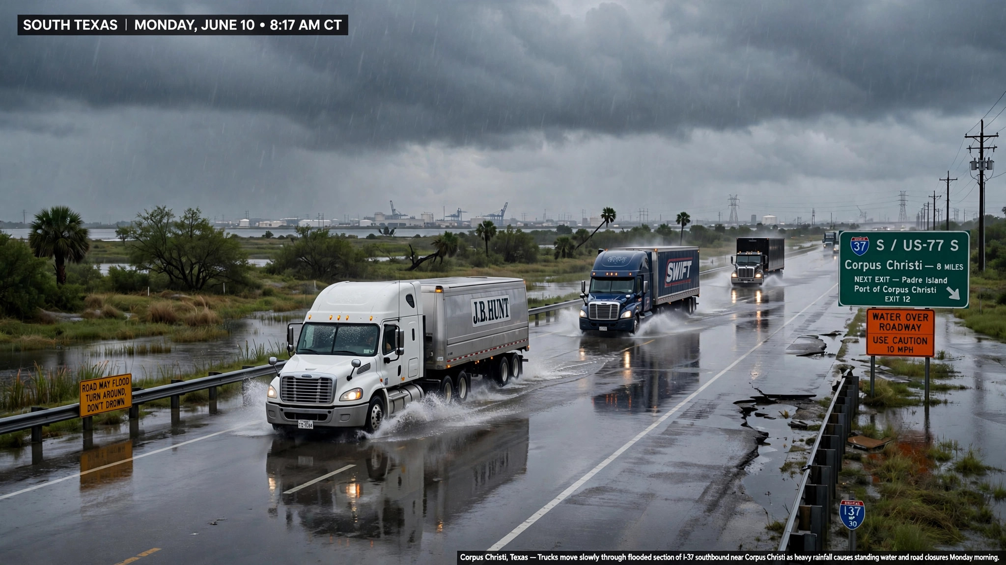
South Texas rain peaks and turns: 5 to 10 inches fell near Kingsville, one more round Monday, and the heavy rain ends by evening
The Weather Prediction Center's discussion issued early Monday shrinks the excessive-rainfall risk to far southeastern Texas — a slight risk, level 2 of 4, from southwest of Corpus Christi down to Brownsville — after some areas took 4 to 9 inches in 24 hours and the Kingsville area took 5 to 10. The Corpus Christi office says 1 to 3 more inches are possible through Monday afternoon on saturated ground, the Flood Watch runs through noon, and a Flood Warning for Oso Creek near Corpus Christi, with a crest near 23 feet late Monday night, runs to Wednesday afternoon.
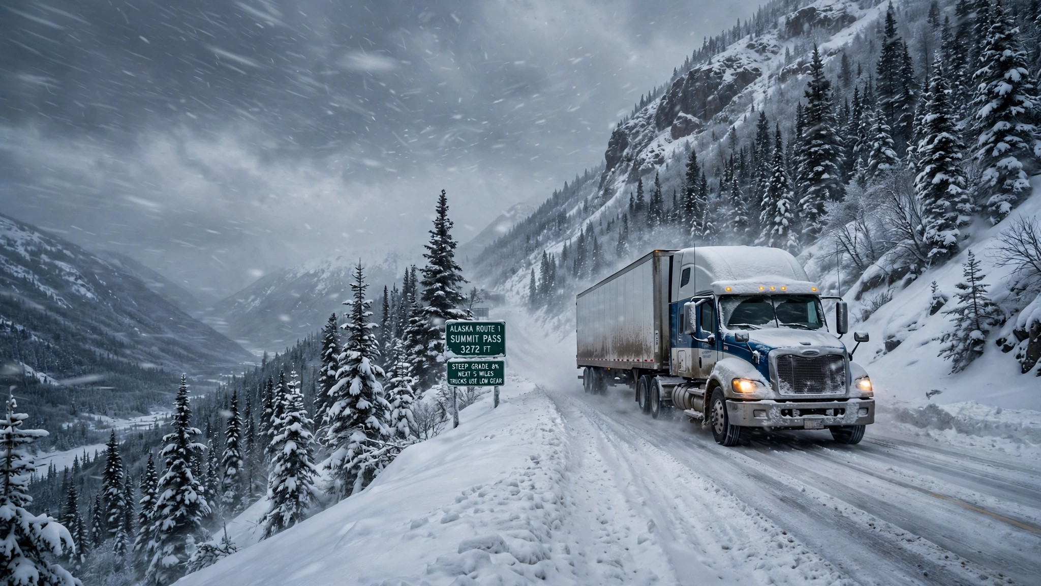
Alaska storm Monday: 8 to 12 inches on the Haines Highway at the border, and snow, freezing rain and 60 mph gusts for Anchorage's evening commute
The National Weather Service in Juneau has upgraded the Haines Highway to a winter storm warning for Monday — 8 to 12 inches of snow possible at the upper elevations near the border crossing, 3 AM to 6 PM AKST — with a winter weather advisory for 5 to 8 inches on the Klondike Highway near White Pass. In Anchorage, a winter weather advisory runs from noon Monday to 3 PM Tuesday: 2 to 8 inches of snow, a light glaze of ice and gusts to 60 mph on the Hillside, hitting both the Monday evening and Tuesday morning commutes.
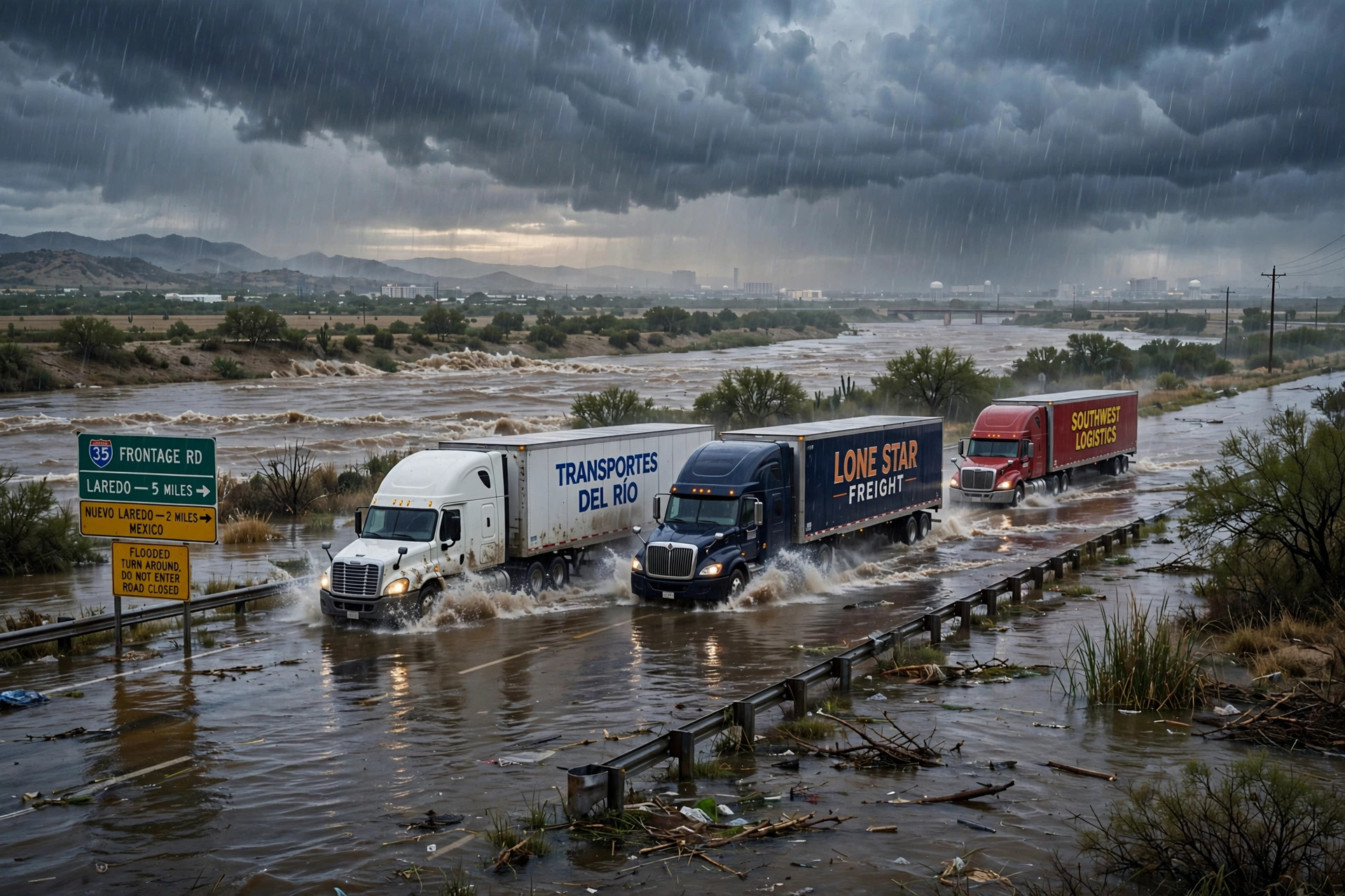
South Texas flood threat escalates overnight: forecast totals raised to a widespread 3 to 6 inches, worst of it late today into early Monday
The National Weather Service's Weather Prediction Center raised its South Texas rainfall expectations overnight — a widespread 3 to 6 inches, locally as much as 8, with a 60-90% probability of more than 3 inches south of I-10 — and the Corpus Christi office reissued the Flood Watch through Monday noon with isolated totals of 7 to 9 inches now possible. A Flash Flood Warning and a Flood Advisory covered the Laredo area early this morning, and forecasters say the best chances for flash flooding come late this afternoon and evening, carrying into early Monday morning.
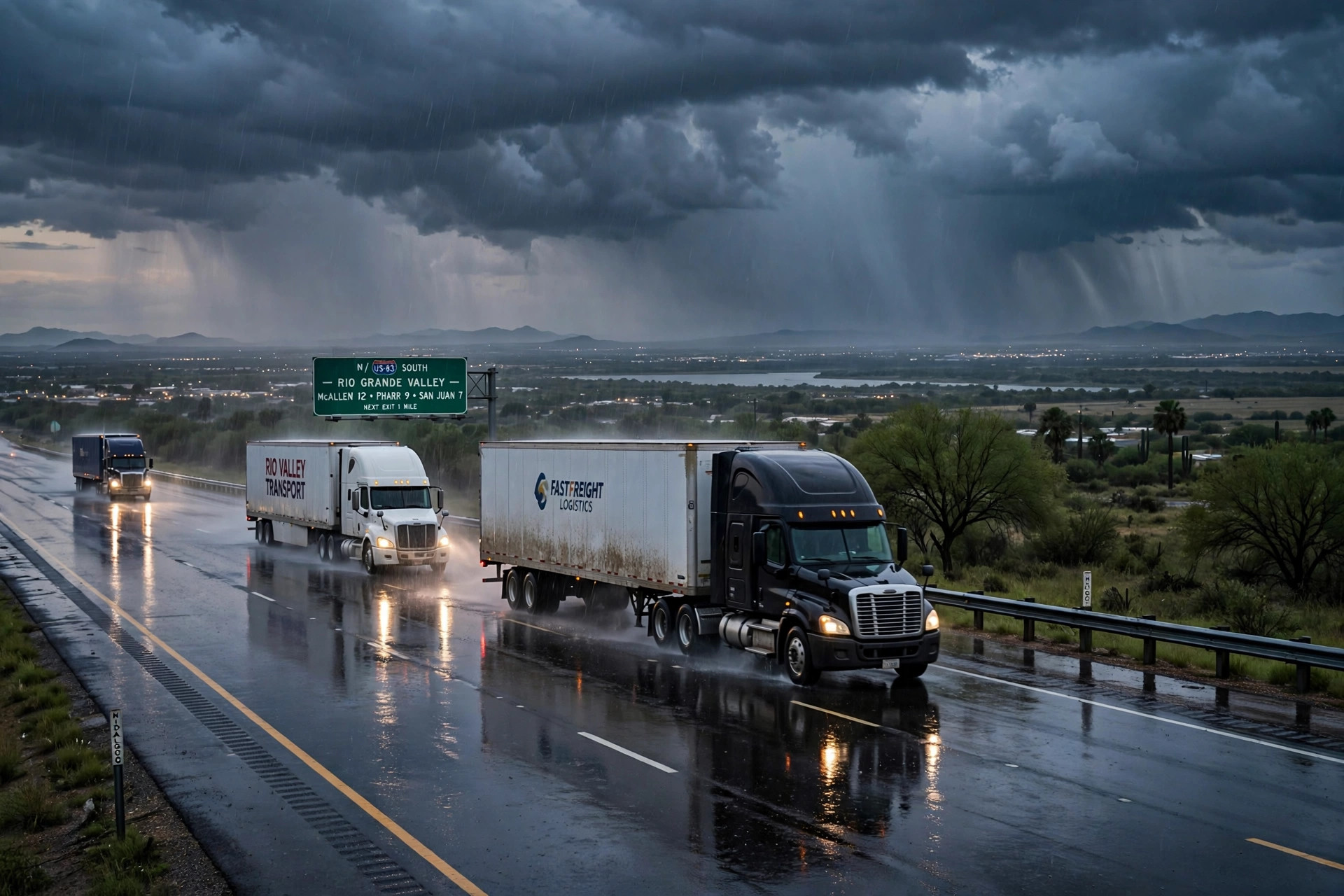
Flood Watch for South Texas through Monday morning: 2 to 4 inches of rain, locally over 5, on the Laredo and I-10 freight corridors
The National Weather Service has issued a Flood Watch for most of South Texas from Saturday afternoon through Monday morning, with the heaviest rain Sunday. The Weather Prediction Center puts a slight risk — level 2 of 4 — of excessive rainfall across south-central and South Texas along and south of I-10, with a broad 2 to 3 inches, locally heavy totals of 4 to 6 inches, and the greatest probabilities between Laredo and Corpus Christi. Training storms over Laredo and the Coastal Bend are the flash-flood concern.
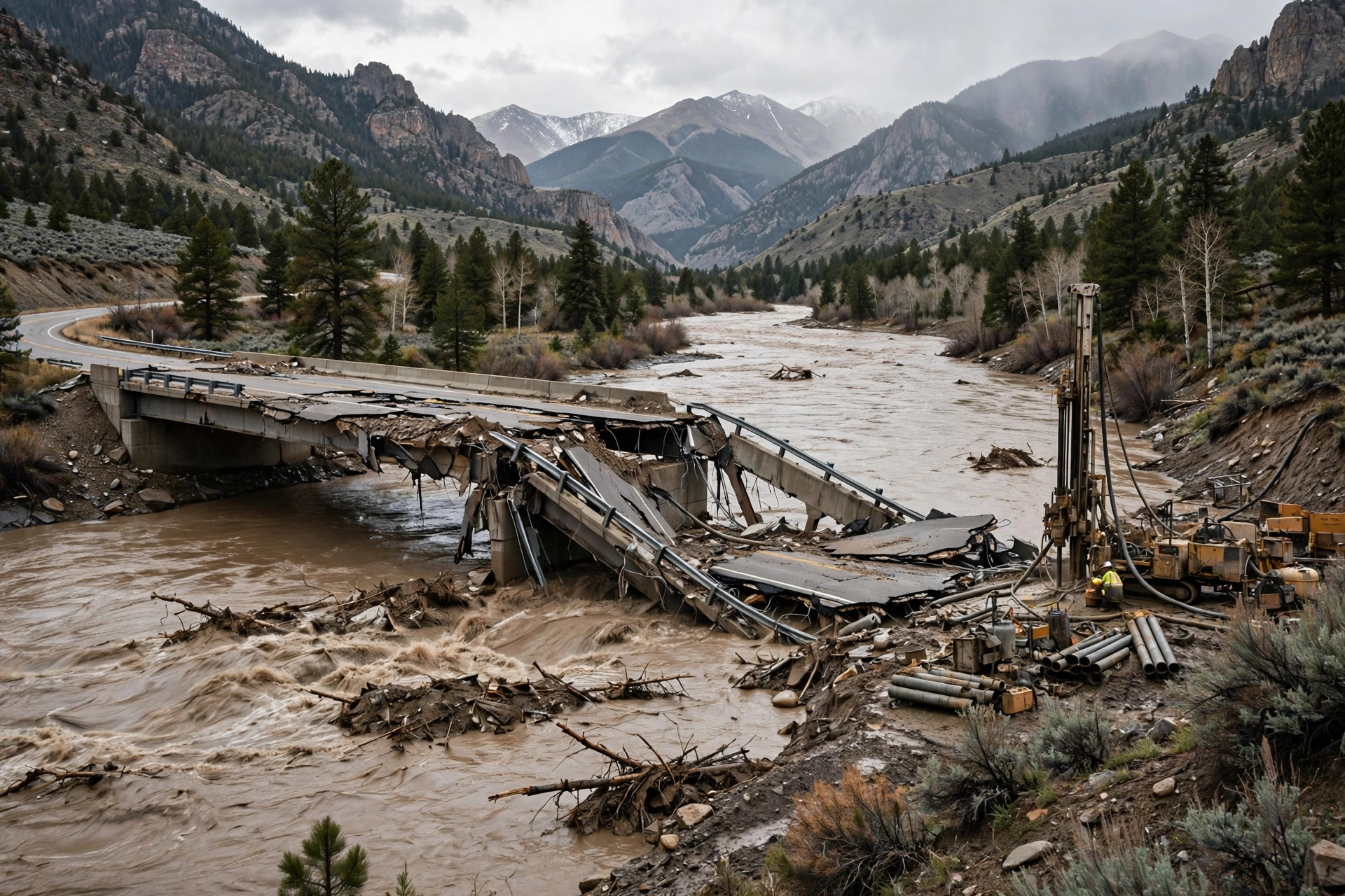
Pagosa's Piedra River fix is now a four-week job: temporary bridge needs new abutments, Wolf Creek stays shut, and Highway 84 is the lifeline
CDOT Region 5 Director Julie Constan told the Pagosa Springs Town Council Tuesday night that a drilling team is checking the river banks for concrete abutments and the temporary bridge is likely a four-week process. U.S. 160 is open from town as far as the bridge with single-lane stretches, Highway 84 south is stabilized, CO 151 may get one lane by the weekend, and the downtown reconstruction will not finish in 2026.
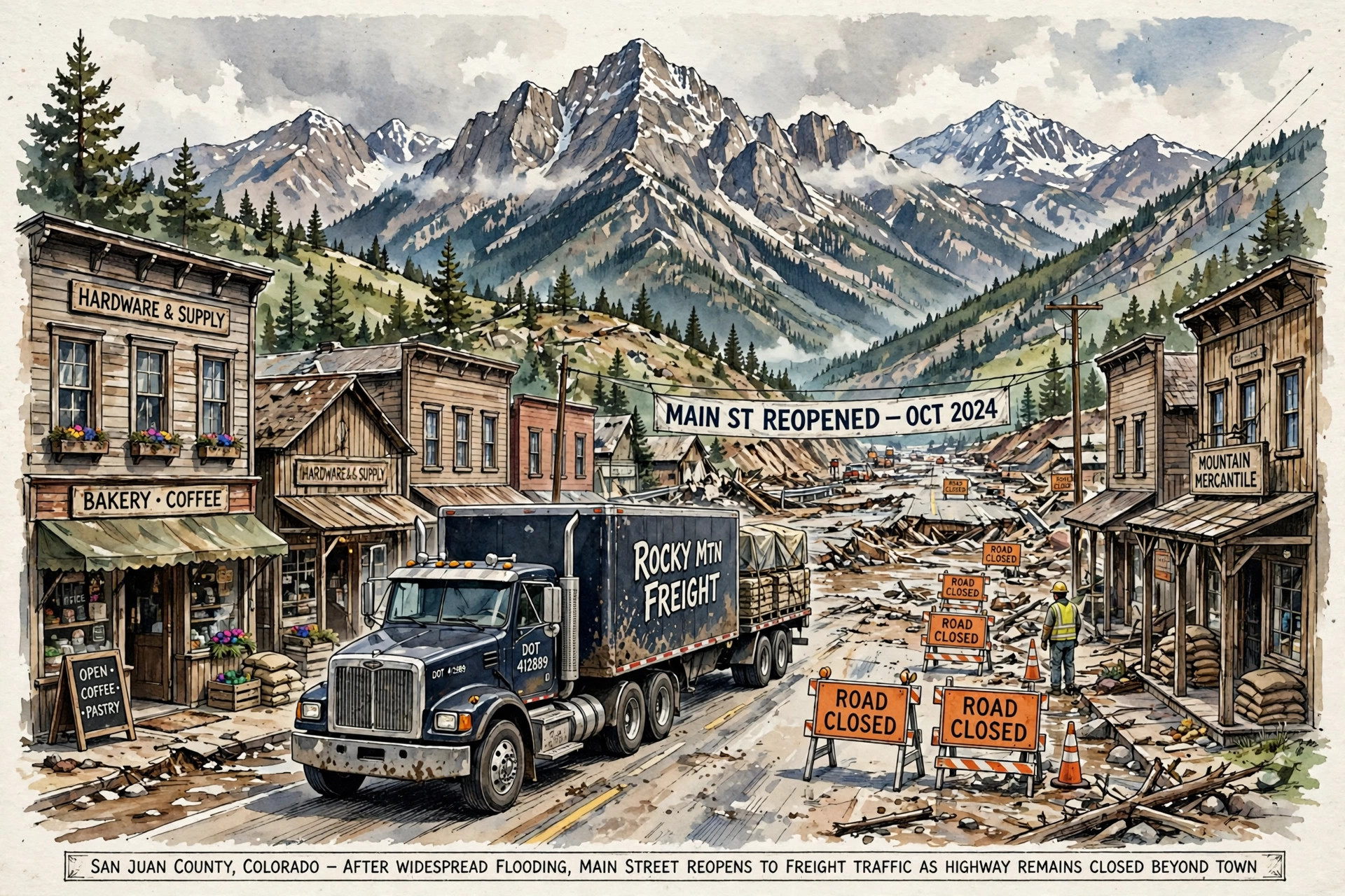
U.S. 160 through Pagosa Springs reopened Tuesday — but the corridor is still closed from mile marker 121 to 139 with no reopening date, and Wolf Creek Pass stays shut
CDOT is prioritizing Highway 84 south — 'the only way out for Pagosa Springs at this time' — while most mandatory evacuations in town were lifted Tuesday afternoon. The reopening serves the town; through freight still has no U.S. 160 route in either direction.
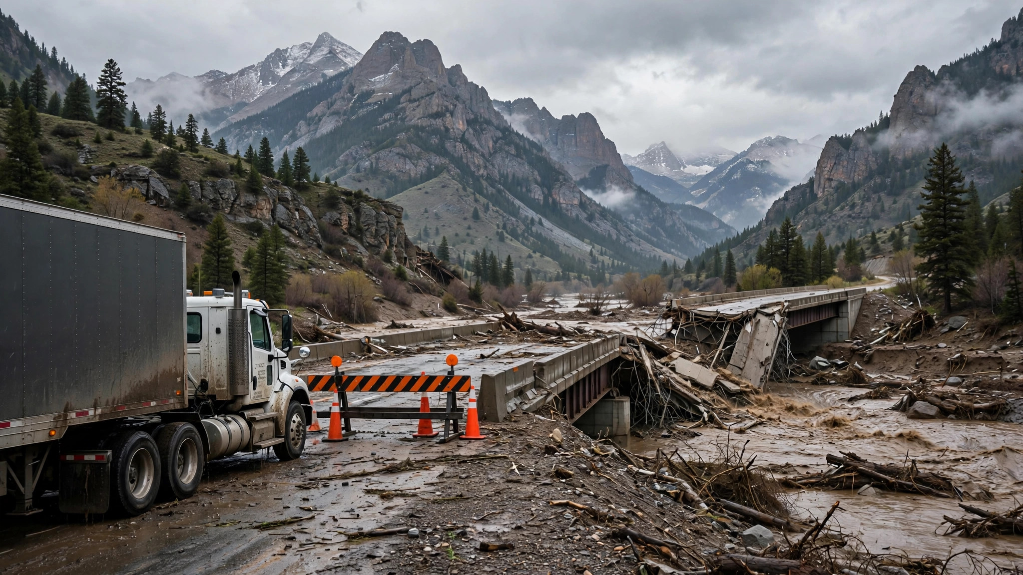
A U.S. 160 bridge over the Piedra River has failed, Pagosa Springs is largely cut off, and CDOT says a workable replacement is a week or two away
The San Juan River is receding after rising to nearly 17 feet, the highest since 1911 — but the Colorado Department of Transportation is calling the damaged U.S. 160 bridge over the Piedra River a "bridge failure," U.S. 160 is closed on either side of Pagosa Springs, and the town's one reopening, the First Street Bridge, does not restore the through route.
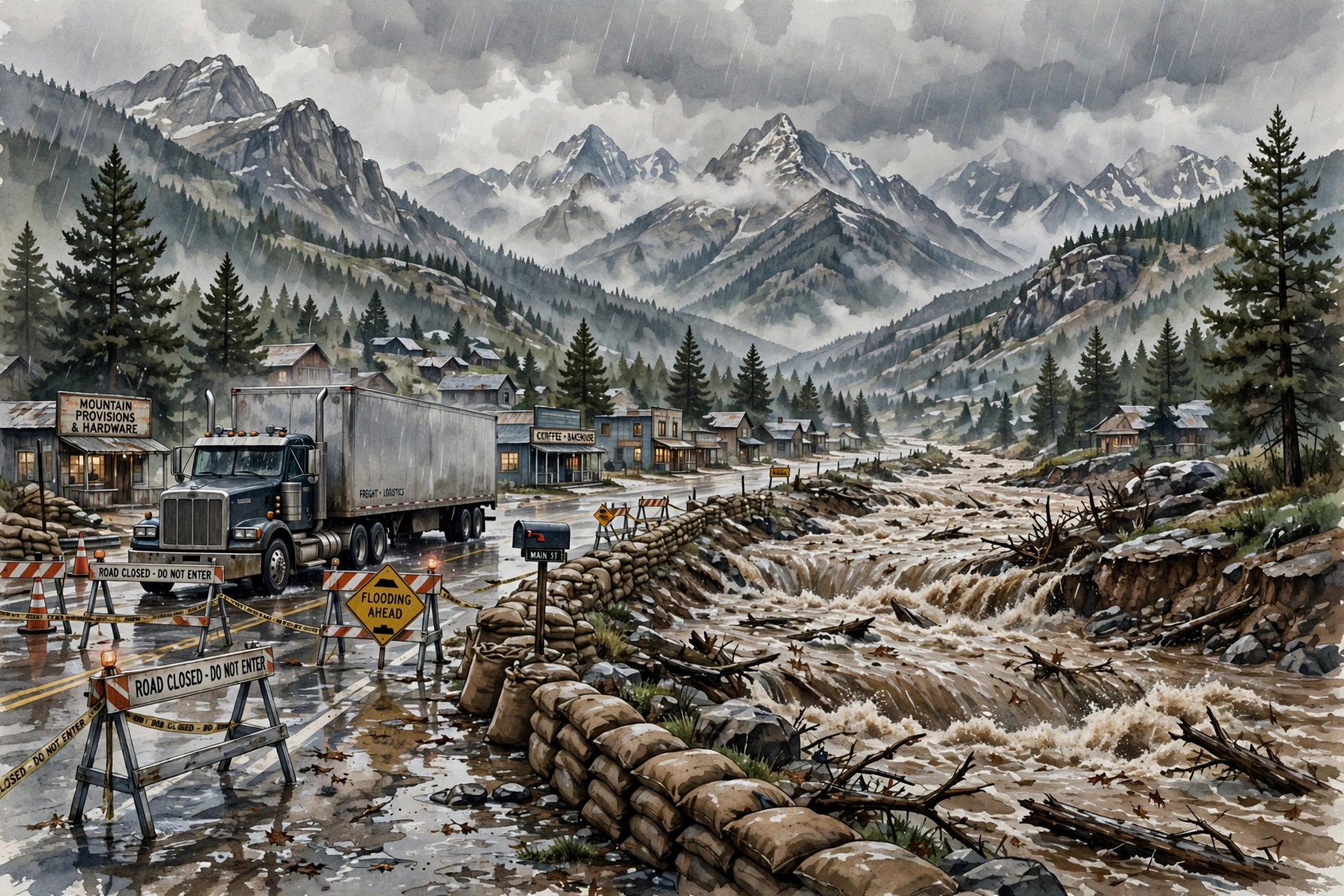
U.S. 160 is closed from Wolf Creek Pass through South Fork and in Pagosa Springs as the San Juan River heads for a forecast 22-foot crest — above the 1911 record
The Colorado Department of Transportation has closed U.S. 160 in two stretches, plus CO 17 to the New Mexico line and CO 151, while La Plata County has closed all of its county roads. The San Juan River at Pagosa Springs was forecast to crest Sunday evening at 22 feet, past the 17.8-foot record set in 1911, and evacuations now run along four rivers and into three more counties.